

We are your reliable partner
Only state-authorized engineering consultants for surveying (IKV) may make changes to property boundaries (e.g. divisions or mergers). As an IKV, we are your authorized and reliable partner for land surveying.
The surveying and determination of property boundaries is one of our main tasks and is carried out at all our locations. The IKV contributes to legal certainty in the Austrian cadastre and acts as a notary, often referred to as a "technical notary". In addition to the determination of boundary points, this also includes the clarification of issues such as
- Land area
- Servitudes, building rights, neighboring rights
- the transfer to the boundary cadastre
- Cost optimization for fees and contract establishment
Division, unification, negotiation and registration
Division, unification, negotiation and registration
To change the shape of a plot of land (parcel), a deed of division must be drawn up. Extensive official requirements must be complied with in the process.
Depending on the initial situation of the affected property boundaries (not surveyed, surveyed, legally binding, ...), it is necessary to negotiate the property boundaries with the neighbors and to survey existing and new boundary points.
As IKV, we support property owners with our expertise from the initial idea through the partition proposal to the recordable partition deed.
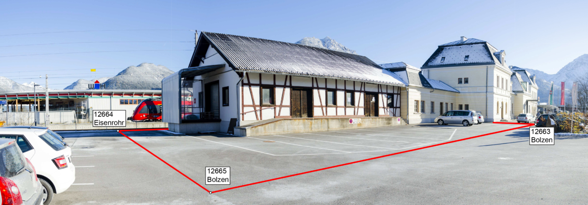
Basic boundaries
Boundary surveys must be carried out if...
... a construction project is planned near the border
... massive or high-quality walls or fences are to be erected
... missing boundary signs (e.g. boundary stones) are to be restored
As IKV, we are authorized to enter third-party properties for surveying purposes in accordance with VermG §43.
Border dispute
Border dispute
Of course, despite all prudence, a conflict can arise between owners over the common boundary. At this point, we act as a mediator. The extensive know-how of our employees helps to support this role and to make the discussion more objective. If necessary, we draw up appropriate expert opinions.
Expert opinion
Expert opinion
If a boundary dispute is brought before the court, the judge (in consultation with the plaintiff and defendant) can commission an expert opinion to determine the boundary. For this case, we offer two generally sworn and court-certified experts in the field of surveying (Dipl.-Ing. Engelbert Siegele and Dipl.-Ing. Roman Markowski). They are also registered in the list of experts available at the court.
Experience shows that our expert witnesses can certainly speed up border dispute proceedings in court.
Final measurement
Traffic routes and hydraulic engineering facilities (state and municipalities)
Beginning with the preparation of the basis for the redemption negotiations and ending with the final survey for the restoration of the land register order, AVT is able to carry out all work in a timely manner.
Inventory
Inventory
The implementation of a construction project requires the procurement of basic planning data (property data, elevations, etc.) of the existing and situational objects in advance.
In addition to the collection of all property-related information (cadastre, land register, pipelines, etc.), our services also include an exact natural inventory.
In consultation with the project engineer, we carry out the survey using state-of-the-art measuring equipment. Depending on the task, we use tachymeters, GPS, laser scanners, drones or airplanes. We are increasingly combining the different measurement methods to achieve maximum efficiency and accuracy.
Building regulations
Building regulations
In Austria, the building code is a state matter, so our main focus is on the Tyrolean Building Code (TBO).
A site plan in accordance with §31 (2) TBO must also be submitted by the surveyor with the building application. It serves to secure the rights of the neighboring residents and is an essential document for the authorities. Important contents are the cadastral boundaries, existing buildings, new buildings and extensions, demolition, height information and the boundary distances. In order to calculate the required boundary distances, it is necessary to know the exact course of the boundary and the corresponding height conditions (natural level survey).
To ensure compliance with the approved project, the TBO provides for a control survey after completion of the floor slab, because at this point corrections are possible at comparatively lower cost. The sectional framework according to §38 (2) is staked out by the surveyor and marks the exact position of the building lines. The confirmation of the correct location is issued by us and submitted to the municipality.
The height check in accordance with §38 (3) is to be carried out by the surveyor after completion of the uppermost brick course and before the roof structure is set up. This confirmation is also submitted to the municipality.
Facades and cubatures
Facades and cubatures
During the facade survey, individual points are recorded and a high-resolution measurement photo is created for each required building front. This data is used, for example, as a planning basis for conversion measures or to document historical buildings. We can also create facades and buildings in the form of 3D meshes or BIM formats.
Large masses of earth are usually moved during construction. With the help of laser scanning and drones, we determine the corresponding cubatures (e.g. excavation pit) with high precision and quickly, so that obstructions on the construction site are reduced to a minimum. As we act as an independent surveying office, the cubature values determined are reliable and can therefore be used to check billing quantities and therefore costs.

Cubature excavation pit
Light and shadow
Analysis of your plot with the Suntimer
A suntimer measurement describes the course of the sun's path, indicating the times of year and day at a desired location and taking local conditions into account. The path of the sun is incorporated into a panoramic photo taken on site. This makes the actual illumination, but also the shading, for example by nearby trees or neighboring buildings, visible.
Measurement in sport
For many years, we have been supporting various international athletics championships by means of electronic distance measurement in disciplines such as javelin throw or discus. This much faster and more elegant method of measuring distances, in contrast to the time-honored tape measure, enables the disciplines to be run more quickly and without any problems.
Your important companion
The IKV is also your important companion when it comes to building regulations. It ensures legal certainty before, during and after construction and helps you comply with the building code. In addition to the boundary survey, the most important steps are the site survey in position and height for planning, the staking out of building axes and sectional scaffolds, as well as legally required position and height checks in various construction stages.
Further information can also be found at www.meingrundstueck.at.
We are near you: select the for your next location from.