As-built surveying deals with the surveying of buildings of all kinds, both outside (facades) and inside.
We have many years of experience, the human resources and the necessary technical equipment to efficiently handle projects of various sizes.
Our particular strength lies in the realization of large projects. We benefit from a large selection of measurement technologies and always select the best technology for the task at hand.
Measuring technologies
Different measurement technologies are used depending on the task. Among others, the following are available:
- Recording using GNSS (GPS)
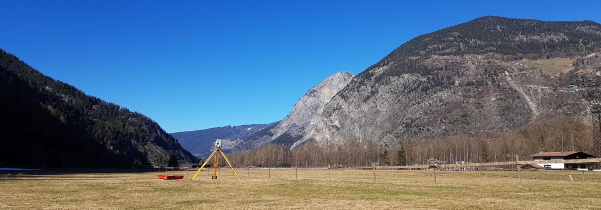
- Recording using a total station
- Terrestrial laser scanning
- Drone flights with laser scanning and aerial images
- Aerial surveys with airplanes and helicopters with laser scanning and aerial images
- Photogrammetry and 3D image analysis
Buildings and BIM
From the stadium to the stadium
The appropriate measurement method is selected depending on the size and complexity of the existing property. In many cases, a combination of several measurement technologies is the most efficient.
As the level of detail increases, we use the following techniques:
- Terrestrial recording by means of total station (in outdoor areas also GPS)
- Aerial image evaluation from a drone or aircraft (e.g. for roof landscapes)
- Terrestrial photogrammetry using video total stations
- Terrestrial or drone-based laser scanning using precision scanners
The use of laser scanning requires a high level of expertise in the recording and evaluation of measurement data. Based on a high-resolution 3D point cloud, we create sections, views, façade rectifications, target/actual comparisons, 3D and BIM models. By using special software, high-performance computers and expert personnel, we guarantee the delivery of high-quality data within the shortest possible time.
Terrain
Surveying terrain provides precise topographical data. Using modern technologies such as laser scanning or GPS, we record terrain points in various resolutions and use them to create three-dimensional models. This data supports architects and civil engineers, for example, in planning and monitoring construction progress. They are also used to determine cubature changes (quarries and landfills) or to measure snow depth in ski resorts.
Laser scanning is indispensable for area-wide terrain surveying, as this technology measures every square meter with hundreds or even thousands of measuring points with high precision in 3D. The laser beams can also penetrate vegetation well and therefore optimally capture terrain under wooded areas, for example.
Cultural assets
High technology for our cultural heritage
The use of the latest non-contact measuring technologies not only guarantees careful handling of irreplaceable cultural assets, but also reduces costs. Recording takes place very quickly and therefore hardly disrupts daily operations in churches, museums and historic public buildings.
As a client, you benefit from professionally created delivery products such as:
- Sections and views as line evaluation in 2D plan
- Equalized facade images
- Processed, refined 3D point cloud - the object mapped down to the smallest detail
- 3D models of your objects - from planning to visualization a versatile data set
- Web-based visualization of terrestrial laser scans with measurement functionality - intuitive viewing and measurement of your structures in the web browser, attach notes in 3D, revolutionizes communication with your project partners
Water measurement
From a gentle stream to a raging torrent
Water measurements serve as the basis for hydrological studies and flood models. The water-land boundary is of particular importance here.
Typical tasks include the recording of structures such as bridges, inlets, weirs and groynes as well as the surveying of the bank and the nearby hinterland including natural or artificial embankments.
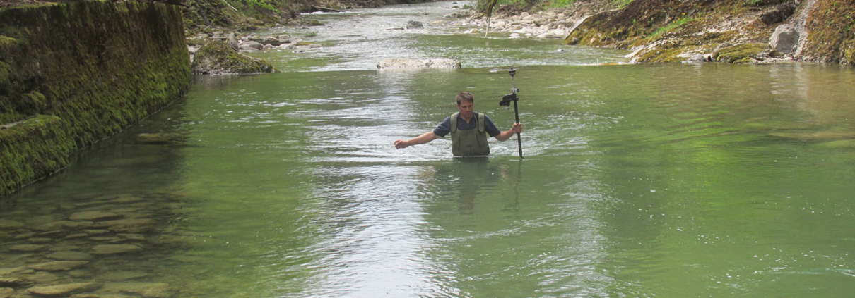
For surveying the river bed, soundings using a measuring rod or echo sounder are used. When surveying the surrounding terrain, aerial surveys using laser scanning drones are extremely efficient and often significantly faster and more detailed than terrestrial measurements.
We are near you: select the for your next location from.


