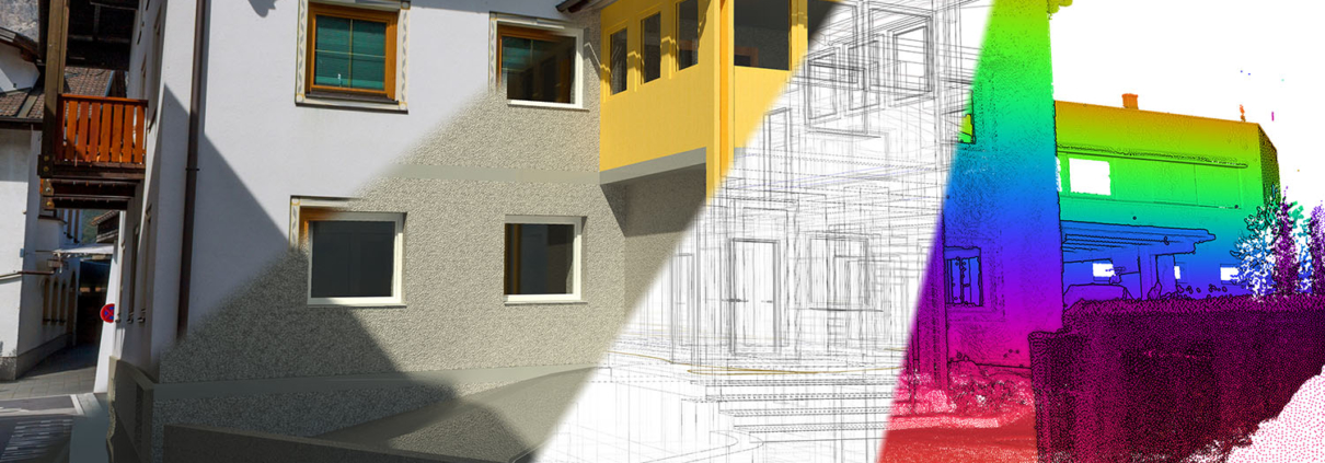
Terrestrial laser scanning (TLS) is a modern method for capturing 3D data of objects or terrain surfaces. Our high-precision laser scanners capture millions of points in a short space of time to create detailed 3D models.
Advantages of terrestrial laser scanning
- Precision:
Thanks to state-of-the-art laser scanning technology, we offer you precise and reliable results for your surveying projects. - Efficiency:
The fast collection of large amounts of data enables efficient project processing and shortens project runtimes. - Attention to detail:
Every aspect of your project is recorded in detail, enabling sound planning and analysis. - Versatility:
Whether buildings, terrain, infrastructure or industrial facilities - terrestrial laser scanning is versatile and delivers highly accurate results in almost any situation.
Depending on the customer's area of application and software, we deliver the data in different formats, such as
- Point clouds (LAS, LAZ, E57)
- Mesh and surface formats (OBJ, PLY, STL)
- BIM/CAD formats (DWG, DXF, RVT, IFC)
These formats enable flexible use and further processing of the scanned data in various software solutions.
your contact person
Manfred Heinrich, Dipl.-Ing.
Imst office
+43 50 6930-221
m.heinrich@avt.at


