das führende Vermessungsbüro in Westösterreich

Willkommen bei
Vermessung AVT

Vermessung AVT-ZT-GmbH offers services in the fields of mapping, cadastral surveying, engineering geodesy, aerial and terrestrial photogrammetry, laser scanning and geographic information systems. Together with our subsidiary AVT-Airborne Sensing , AVT carries out photo flights in Europe and uses the images to model the terrains, alpine environments and cities and to produce orthophotos with ground resolution up to 2 cm.

The subsidiary IDC EDV GmbH covers the hardware and network support in AVT, and is also active in GEOSI surveying software sales, tourism marketing and CAD sales for BricsCAD.

Regional presence, international projects, customers caring and technical innovation are the cornerstones of our company policy. The company was founded in 1970 in Imst (Austria) by Franz Markowski and grew following the innovations and new users’ needs. Since 1999 the Vermessung AVT has been certified according to ISO 9001 standards. Currently, some of the management has been transferred to the 2nd generation of the families involved.

start with us

The Team

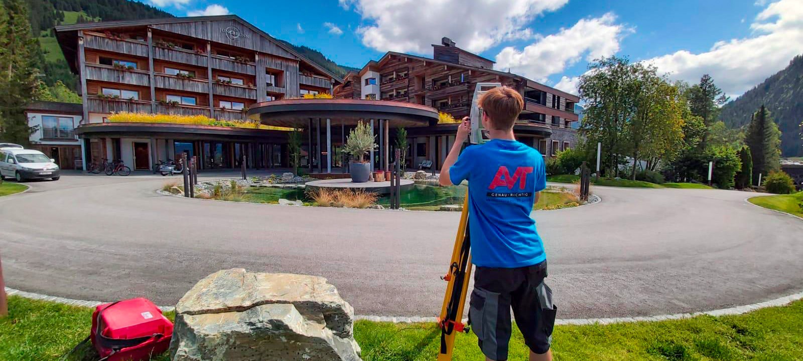
Our approximately 100 highly trained employees are characterized by a high level of motivation and team spirit. We have an international team spread across 3 countries. We are proud to train numerous apprentices in our company.

50 years of experience

AVT has been active in surveying since 1970. We listen to our customers’ needs, analyze problems in depths, and advise our customers with the optimal solutions for their tasks. After 50 years of experience, we are proud to have consolidated the trustiness of new and old customers in our know-how. Cable car operators appreciate our efficiency. Foreign property owners get expert help in the cadaster management. We serve mapping agencies at local and national level in 20 countries with our aerial flights.

OVER 11 LOCATIONS

All our locations in Tyrol and the one in Millstatt am See (Carinthia) are supervised by an engineering consultant for surveying. We also have an office in Klosterneuburg, a surveying office in Immenstadt (Bavaria) and a branch in Trento (Italy).

WORKING FOR and with PEOPLE & COMPANIES IN EUROPE

Our customers are as diverse as our projects. We talk to local technicians as well as to managers of public and private entities.

WE ARE THE LEADING SURVEYING COMPANY IN WEST AUSTRIA

With our excellent employees and our well-organized management structure, we can also handle large projects under tight deadlines.

SCIENCE AND RESEARCH

In the innovative fields of photogrammetry, laser scanning and engineering geodesy, a close relationship to science and research is a must for us. We participate to international research projects by offering our data acquisition services and our experience.

MILESTONES

AVT stands for innovation since 1970

The most important technical innovations in AVT include:

  • early 1970s: Introduction of the automatic data flow with self-registering total stations
  • 1979: Introduction of analytical photogrammetric stereo stations
  • 1980s: Introduction of GPS in engineering surveying
  • 1990s: New product: orthophotos as a basis for planning
  • Development of the Geosi surveying software together with our subsidiary IDC EDP since 1997
  • 2003: Entry into laser scanning technology
  • 2005: Digital photogrammetric stereo stations
  • 2009: Foundation of Terra Messflug and entry into the digital aerial photography
  • 2012: Use of GPS in cadastral surveying
  • 2015: Large-scale oblique aerial imaging
  • 2016: Introduction of BIM as the basis for building planning and revitalization
  • 2016: Entry into mobile mapping technology
  • 2018: Takeover of Weser Airborne Sensing and subsequently merging of Weser AS and Terra Messflug into AVT Airborne Sensing GmbH
  • Transfer of the remote sensing division into a separate company: AVT Airborne Sensing Austria GmbH